Land Surveyor in Chapel Hill, NC
Licensed land surveyor in Chapel Hill, NC providing boundary and property line surveys, ALTA/NSPS land title surveys, topographic mapping, construction staking/layout, subdivision and recombination plats, FEMA elevation certificates and LOMA assistance, as-built surveys, and GPS/GIS mapping for residential, commercial, and municipal projects in Chapel Hill, Carrboro, and Orange County.
Our Services
Professional Land Surveying & 3D Laser Scanning Services in Chapel Hill, NC

Land Surveying Chapel Hill, NC
Land Surveying in Chapel Hill, NC helps you resolve boundary questions, prepare permits, and avoid setbacks. A local crew maps steep slopes, stream buffers under the LUMO, and flood zones along Bolin and Booker creeks, informing additions, pools, and ADUs. We locate OWASA water and sewer easements, iron pins, and encroachments, then produce plats for lot line adjustments or subdivisions filed in Orange County. For commercial sites near Franklin Street or MLK, we deliver ALTA/NSPS surveys and construction staking. Choose Land Surveying in Chapel Hill, NC to document topography, stake corners, and verify setbacks. Receive signed plats promptly today.

Residential Land Surveying Chapel Hill, NC
Choose Residential Land Surveying in Chapel Hill, NC to confirm boundaries before closing, prevent fence and driveway encroachments, and map stream buffers that trigger Town of Chapel Hill RCD rules. We produce lender-ready boundary plats, topographic surveys for steep lots, site plans for additions and ADUs, and plats for lot recombination within Orange, Durham, or Chatham county limits. Our surveys align with OWASA easements, NCDOT rights‑of‑way, and HOA setback requirements. Expect stakes, deliverables, and permit-ready exhibits accepted by the Town and Orange County. Start here: Residential Land Surveying in Chapel Hill, NC. Done right.

Commercial Land Surveying Chapel Hill, NC
Choose Commercial Land Surveying in Chapel Hill, NC to verify title matters, map OWASA utilities, and document ALTA/NSPS requirements before you close. We locate encroachments, right‑of‑way limits on MLK Jr Blvd and Franklin Street, stream buffers under Jordan Lake rules, FEMA floodplains along Bolin Creek, and setbacks in the LUMO and Blue Hill districts. Get sealed surveys, zoning compliance summaries, and Phase I ESA coordination that lenders, attorneys, and title companies accept, reducing replat delays. We meet tight due‑diligence schedules, flag easements, and confirm access and parking counts. For local guidance, see Commercial Land Surveying in Chapel Hill, NC.

Construction Surveying Chapel Hill, NC
Construction Surveying in Chapel Hill, NC keeps your site compliant and buildable on tight infill lots near Franklin Street, MLK Jr Blvd, and UNC. We stake foundations, utilities, curb lines, and retaining walls to match approved plans, account for OWASA easements, and protect tree-save areas. Verify grades on Piedmont clay slopes, avoid Orange County stream buffers, and meet NCDOT encroachment limits. Get as-builts that document stormwater devices and setbacks for permit closeout. Monitor progress so subs pour and pave correctly the first time. Choose Construction Surveying in Chapel Hill, NC for sub-centimeter layout using robotic total stations and GPS.

Land Development Services Chapel Hill, NC
Choose Land Development Services in Chapel Hill, NC aligned with Town LUMO standards, watershed buffers, and OWASA coordination. We map boundaries, topo, utilities, and tree save areas to prevent redesigns, failed submittals, and stop-work orders. Navigate Jordan Lake riparian buffers, steep slopes, and Resource Conservation District limits. Secure NCDOT driveway permits and stormwater calculations that pass review. Subdivide lots near UNC, rezone infill parcels, or plan ADUs with plats, grading, and erosion control sheets. Get responses to TRC comments and concerns. Start here: Land Development Services in Chapel Hill, NC—expertise delivering compliant Land Development Services in Chapel Hill, NC.

Home Builder & Construction Survey Services Chapel Hill, NC
Get Home Builder & Construction Survey Services in Chapel Hill, NC. We stake lots, set foundation corners, verify grading, and produce as-builts tailored to Orange County setbacks, Chapel Hill tree protection zones, and Jordan Lake riparian buffers. We tie OWASA water/sewer locations, mark utility easements, and flag stormwater BMP footprints to prevent redesigns and inspection delays. On sloped Chapel Hill sites, we check elevation control and retaining wall limits before concrete. We confirm FEMA floodplain and impervious caps for neighborhood covenants. Request Home Builder & Construction Survey Services in Chapel Hill, NC to keep permits, trades, and schedules aligned.

Real Estate Closing & Home Owner Services Chapel Hill, NC
Choose Real Estate Closing & Home Owner Services in Chapel Hill, NC that align with Orange and Chatham County records, Town of Chapel Hill permits, and HOA rules in Meadowmont and Southern Village. We deliver boundary and mortgage surveys, plot plans, and staking that meet attorney and lender requirements, confirm setbacks, and map OWASA utility easements. Avoid fence and shed encroachments on tight R‑3 lots near Franklin Street, and document Jordan Lake watershed buffers and flood risks. Get sealed plats and quick turnarounds to keep closings on schedule. Real Estate Closing & Home Owner Services in Chapel Hill, NC.

Laser Scanning Chapel Hill, NC
Need precise as-builts for a Franklin-Rosemary renovation, UNC-area addition, or Eastowne lab fit‑out? Laser Scanning in Chapel Hill, NC captures dense point clouds for tight rooms, crawlspaces, and sloped lots, producing Scan‑to‑BIM models for Revit/AutoCAD and 2D plans pulled directly from the data. Document existing conditions for Orange County permits, historic reviews, and stormwater planning. Verify beam depths, utilities, and MEP clearances before ordering materials. Measure remotely to cut site visits and avoid surprises behind plaster. Use Laser Scanning in Chapel Hill, NC to coordinate trades around tree‑save areas and limited parking near campus, keeping schedules and rework low.
Services Areas
Serving North Carolina, NC Wake County & the Greater Triangle
Raleigh Metro
- Angier
- Apex
- Carrboro
- Cary
- Chapel Hill
- Clayton
- Durham
- Fuquay-Varina
- Garner
- Hillsborough
- Holly Springs
- Knightdale
- Morrisville
- Pittsboro
- Raleigh
- Rolesville
- Wake Forest
- Wendell
- Zebulon
Charlotte Metro
- Belmont
- Charlotte
- Concord
- Cornelius
- Davidson
- Gastonia
- Harrisburg
- Huntersville
- Indian Trail
- Kannapolis
- Matthews
- Mint Hill
- Monroe
- Mount Holly
- Pineville
- Wesley Chapel
Can't find your area?
Give us a call at (919) 402-6742. We regularly take on projects throughout the Piedmont and Coastal regions of North Carolina for commercial clients with specific needs.

Reviews
Trusted by Homeowners, Contractors & Developers Across Wake County
Precise Land Surveying Services in Chapel Hill, NC
Meta Geomatics PLLC provides land surveying services in Chapel Hill, NC, including boundary surveys, ALTA/NSPS land title surveys, topographic mapping, construction staking, subdivision plats, and as-built surveys. Our firm supports site planning, easement and right-of-way mapping, flood elevation certificates, and GIS-based deliverables. Services cover residential lots, commercial parcels, and institutional properties near UNC and surrounding Orange, Durham, and Chatham counties. Deliverables include sealed plats, CAD files, and digital maps aligned with local zoning and North Carolina Board of Examiners standards for accurate permitting and development.
About Chapel Hill, NC
Chapel Hill, NC grew around the University of North Carolina and the historic Carolina Inn, blending academic roots with a walkable downtown. Residents value tree-lined neighborhoods, greenways, and strong public services, while businesses benefit from a skilled workforce and steady foot traffic. Notable landmarks include UNC Hospitals, Morehead Planetarium and Science Center, Coker Arboretum, and Chapel Hill Town Hall. Their team coordinates with Chapel Hill planning staff, neighborhood associations, and utility providers, delivering boundary, topographic, and ALTA/NSPS surveys adapted to the town’s hilly terrain and tree canopy. They account for UNC campus infrastructure, historic districts, and Bolin Creek floodplains, producing clear plats, CAD files, and staking layouts that streamline permitting, infill development, and campus or downtown improvements.
Chapel Hill's population is 61,960. City center coordinates: 35.9132, -79.0558. The town has a humid subtropical climate with hot, humid summers, mild winters, and frequent summer thunderstorms. Meta Geomatics PLLC tailors boundary, topographic, and construction staking surveys to handle clay-heavy soils, dense tree canopy, and variable drainage. All work follows NC Board of Examiners for Engineers and Surveyors standards and state plats statutes. In Meadowmont, precise boundary and topo surveys support residential additions. Southern Village receives ALTA/NSPS surveys for mixed-use parcels. Northside benefits from lot line adjustments and plats. Chapel Hill Historic District gets elevation certificates and setback verification. Briar Chapel gains construction staking and as-builts. We prioritize eco-friendly practices using recycled materials and sustainable methods, and we support Chapel Hill’s community through local partnerships and hiring. Our projects respect neighborhood character and environmental goals across Chapel Hill, NC. For reliable Land Surveyor services in Chapel Hill, contact Meta Geomatics PLLC today.

Overcast Clouds
Temperature
Wind Speed
Humidity
Neighborhoods We Serve
Things to Do

Ackland Art Museum
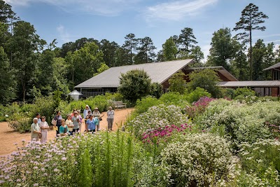
North Carolina Botanical Garden

Morehead Planetarium and Science Center

Battle Park

Coker Arboretum

Old Well

Kidzu Children's Museum

Morehead-Patterson Bell Tower
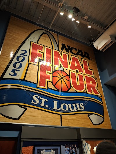
Carolina Basketball Museum

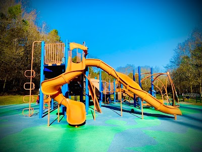
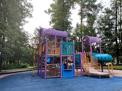
Southern Community Park Playground
Horace Williams House

Carolina North Forest

Cedar Falls Park
Umstead Park
Johnston Mill Nature Preserve
Homestead Park

Sarah P. Duke Gardens

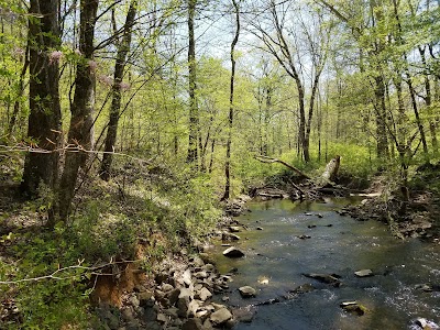
Bolin Creek
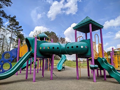
Southern Community Park

Merritt's Pasture
Transportation
Chapel Hill Transit Route S
Southern Village Park and Ride
Martin Luther King Junior Boulevard at Perkins Drive Southbound
E Franklin St at Estes Dr (EB)
Hillsborough Street at Union Chapel Hill Southbound
NC 54 East at Kingswood
Martin Luther King Junior Boulevard at Perkins Drive Northbound
E Franklin St at Elizabeth St (EB)
E Franklin St at Elliott Rd (EB)
West Franklin Street at Kenan Street Westbound
Pittsboro Street at Newman Center
Eubanks Park-and-Ride Lot
E Franklin St at Eastgate Shopping Center Dr
Friday Center Park and Ride
Merritt Mill Road at Lincoln Center
Airport Drive at Martin Luther King Junior Boulevard Eastbound
South Road at Coker Hall
Hillsborough Street at Union Chapel Hill Northbound
NC 54 at Meadowmont Ln
E Franklin St at Plant Rd (Valley View Center)
Driving Directions
Driving Directions from Freehold Land Surveys Inc to Meta Geomatics PLLC
Driving Directions from Ballentine Associates PA to Meta Geomatics PLLC
Driving Directions from Ramsey Land Surveying to Meta Geomatics PLLC
Ready to Get Started?
Contact us today for a free, no-obligation quote:
Phone
Office Hours
Monday – Friday, 8:00 AM – 5:00 PM
Most quotes provided within 24 hours. Emergency and expedited services available.