
Meta Geomatics PLLC is a technology-focused land surveying, laser scanning & 3D mapping services firm. As a leading land, property surveying company, we provide land surveying services in residential & commercial, construction, architecture & engineering industry. As a land survey company We use laser scanning, Scan to BIM workflow, & 3D Mapping for our survey projects.
We are fully licensed land surveying company and insured to highest industry standards, ensuring the accuracy and security of our clients. We service a wide range of clients from simple residential property for a building permit to a large commercial construction projects. Our technical approach with advanced technology can target your needs, providing you the right solution with accuracy and efficiency.
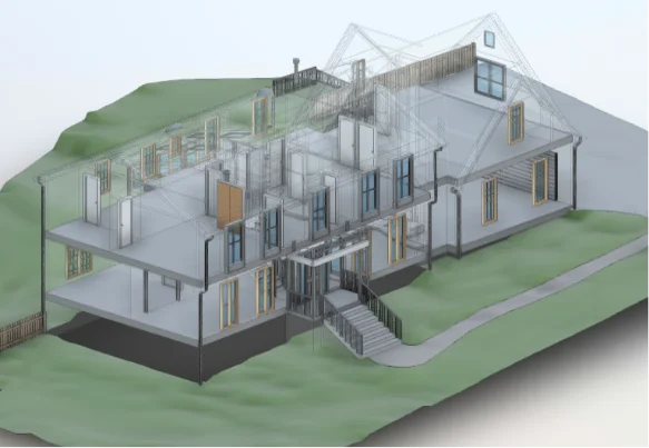
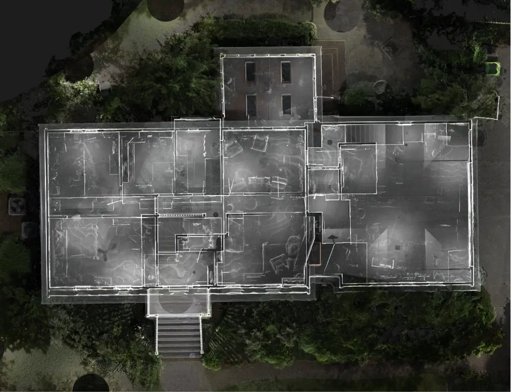
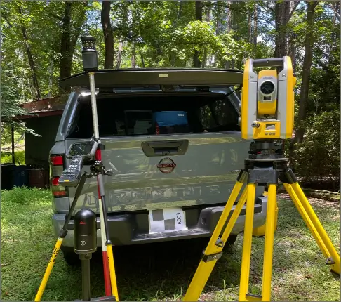
As a land survey company, We apply laser scanning that captures highly accurate and complex spatial data, which we then develop into a fully comprehensive 3D model with 3D mapping techniques. The obtained data is integrated using a Scan to BIM process, enabling us to create highly accurate digital versions of the existing structure.
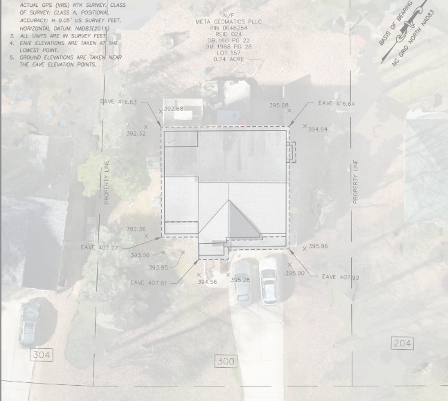
At Meta Geomatics PLLC, we provide premium residential land surveying services. A land survey company ensures accurate boundary lines, providing you with a clear understanding of your property’s limits and preventing any potential disputes with neighbours. Additionally, it aids in accurate valuation, allowing you to make informed decisions about your property’s worth.
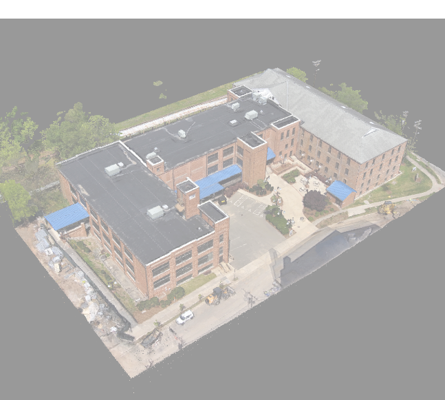
Are you planning a commercial project? Don’t let uncertainties and potential issues hold you back. With our property survey company, and commercial land surveying services, you can feel confident in the success of your project.
Our team of experienced surveyors will address all the necessary details, ensuring accuracy and compliance with regulations. From a boundary survey to topographic surveys, we can help. Let Meta Geomatics handle the technical aspects so you can focus on what you do best. Trust our property survey company to provide the information and data you need to make informed decisions and progress your project.

Construction surveying services play a crucial role in ensuring the success of your construction project. With our expert surveyors, you can start your project with peace of mind, knowing that every aspect of the construction site has been accurately measured and analyzed.

You should hire a land survey company when purchasing a property, buying a home, or performing construction on a plot of land. A land survey, combined with 3D mapping, reveals critical information about the property, including easements, encroachments, and boundary points.
There are many instances where the need for land surveying arises. A land surveying company ascertains the correct boundaries when buying or selling a piece of land and identifies potential issues that might arise concerning the land. During construction, it ascertains that the work to be undertaken will fall within the legal boundaries as stated by the zoning laws and that the structures are positioned correctly.
Determining factors for the cost of a land survey include, but are not limited to, area and shape of property, location, and the type of survey desired. The smaller and less complex a property, the less costly the land survey can be. Larger or more complicated surveys will be an investment worthy of more sizable funding. The best course of action is to find a professional land surveyor who can give you a quote for your particular needs.
The responsibility of land survey payment may fall under various parties. Buyers, in some cases, pay to confirm the boundary of a property; in other cases, the obligation rests on the sellers, when the correct representation of the property is wanted. This can be settled directly through negotiations sometimes, depending on certain conditions.
