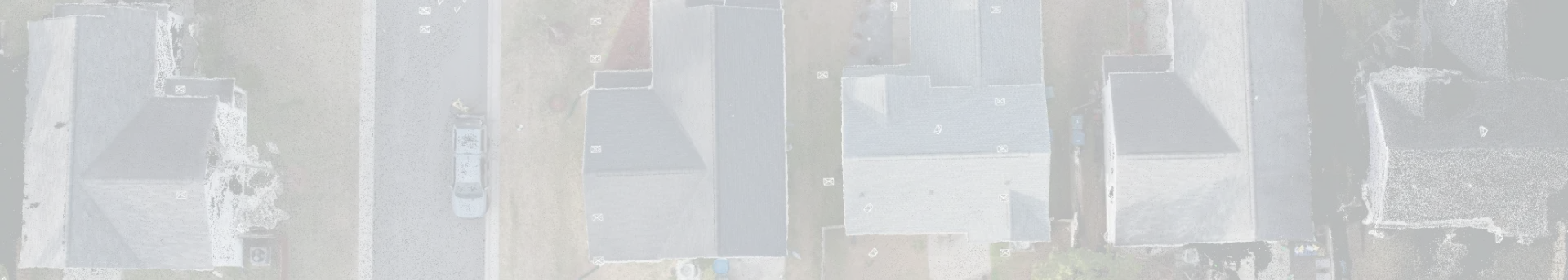
The usage of three-dimensional (3D) scanning is becoming more widespread. Nowadays, technology is shaping every sector and making efficiency in workflows. Land surveying is one of the oldest professions, started thousands of years back to identify cultivated land. Earlier it was done by traditional methods. Now, it’s done by using advanced technology, and for that, professional land surveyors are trusted authorities who bring together science, law, and mathematics to determine accurate boundaries and ensure that every project rests on a foundation of certainty.
At Metageo Matics, we believe that innovation and the application of advanced technology are fundamentals that are propelling our business forward. Our expert land surveyors are crucial to the process of conducting land surveys because they are trained to apply a complex blend of physics, engineering, arithmetic, and law.
Role of a professional land surveyor
Professional land surveyors are not just field technicians, but they are experts. They have knowledge of mathematics, physics, engineering, and law that helps to determine property lines, prepare legal documents, and ensure the land use complies with the state regulations. They have different work words, including
Identify Boundary
It is important to identify the exact report of your land boundaries. While land surveyors are responsible for establishing legal boundaries of a property to prevent disputes across the region. They have legal rights to do this work.
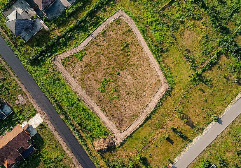
Location Surveys
They are also responsible for making a land accurately mapped. They do mapping of sold properties. Connect to our professional land surveyor who can easily help in the process.
Construction Staking
Land surveyors also help builders during construction projects. They ensure the best technique for mapping their land. We have teams who can easily help to construct your site and provide a worthy report of your land.
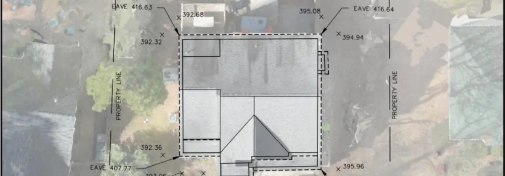
Topographic Surveys
They can easily create detailed maps that can easily show all the features of the land. At our platform, you’ll get the best land surveyors who are authorized to do all this work. They have years of experience collecting data, analyzing drafts, and finalizing the documents.
The Human Expertise Behind the Technology
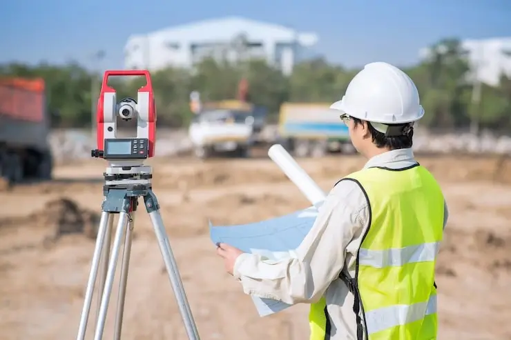
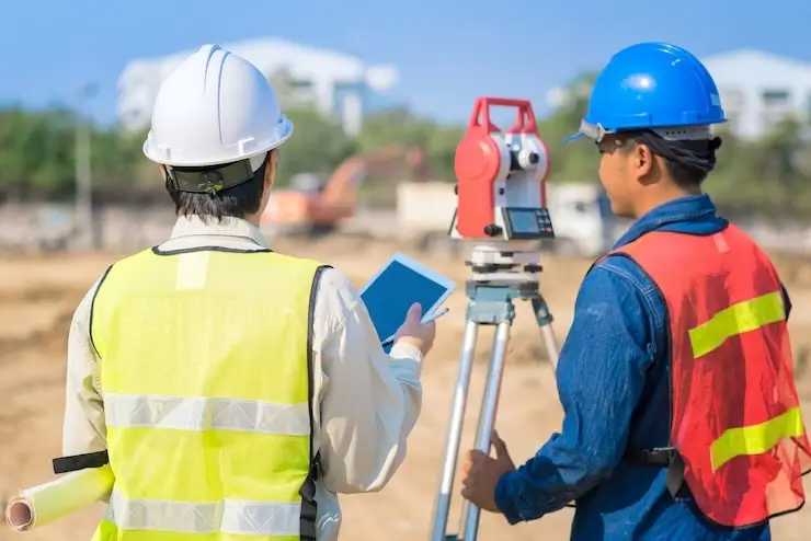
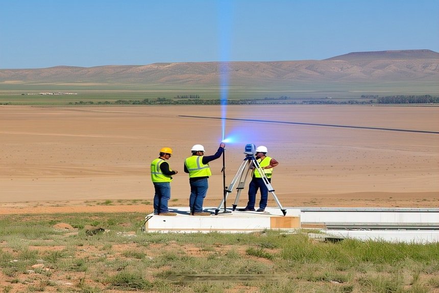
With us, you can only get experienced surveyors who are lashed with technology. They know several tools like GPS, drones, and 3D laser scanners that make their workforce easier. All this technology allows field crews to gather large amounts of data quickly.
As we are aware, technology is more efficient, and it is important to know about. While it cannot replace the expertise of a Professional Land Surveyor. These machines can only collect data, but humans make it more authentic. They ensure information aligns with the legal framework.
The combination of technology makes all ways of surveying easier in terms of workflow. At Metageo Matics, our experts believe that everything should go perfectly.
Becoming a Professional Land Surveyor
Many land surveyors decide to pursue degrees in mapping sciences, surveying technology, land surveying, or related fields. Students who pursue this degree spend the majority of their time outside of the classroom learning the concepts of mapping, measuring, drawing, and data collection and analysis. In your area, Metageo Matics is a trusted professional land surveyor and is permitted to sign land surveys, even though not all positions are in the land surveying field.
Both the Boundary and Mortgage Location divisions at Metageo Matics are staffed by licensed surveyors. They serve as the last arbiter and decision-maker on our projects, applying their expertise to reassure our clients that the work they get was completed with the highest standards of quality. Prior to reviewing, signing, and stamping our finished survey, they execute boundary calculations (for boundary surveys), examine the data gathered by the field crews, and evaluate the image assembled by our drafters.
What is important to become a land surveyor?
If you want to become a land surveyor, then you must hold a license, but to get this, you have to follow several processes.
- First, you obtain a degree in surveying or a closely related field.
- It is important to grab experience working with experienced professionals. If they indulge in practicality, they can gain knowledge.
- Then, to become a trustworthy land surveyor, you have to appear for examinations.
The Future of Land Surveying
Assessing construction sites, working on resource extraction operations, and certifying boundary lines will all require surveyors. It is anticipated that the exciting technological developments will boost employee productivity. One of the oldest occupations in the world, land surveying has traditionally been in great demand and is probably going to remain so for some time to come. Our most valuable resource at Metageo Matics is our staff of survey experts, which we always strive to enhance.
If you want to make your future in Land Surveying, then you must get help from our experts. We have an experienced team who know very well how to manage every aspect and deal with the best situations. Telling you about technology and letting you know every important update, our experts will make sure that you’ll get all the information.
Conclusion
Construction, land planning, and development are some of the essential sections where land surveying is essential. Land surveying is a process in which an expert does an analysis of land, collecting all the data and information. Surveyors can do mapping and make plans using sophisticated methods. If you want to become a professional land surveyor, then you should know all the basic aspects connecting our experts. We have experts who have years of experience in this field, and they are capable of doing all of your land survey-related work. If you are an individual or a builder and looking for experts to help in your project mapping your site and doing surveys, you must get connected to our experts.