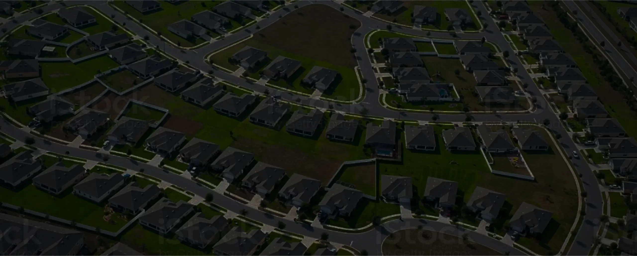
Construction surveying enhances accuracy by offering accurate measurements and reports for building houses, projects, ensuring structures are built according to the given design and plan with safety standards. This is the best way to improve and establish accurate boundaries and elevations of any houses or infrastructures. In recent times, it’s the best way to make any house with prior planning but it can only be possible when you join or connect with experienced professionals.
Why Does It Matter?
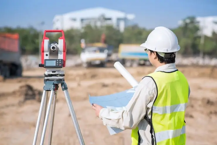
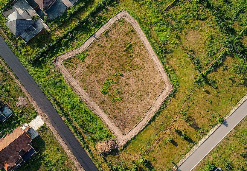
It is the process of placing survey markers on construction sites to work efficiently. In this process, experienced professionals or builders ensure the best structures are placed according to the design plans. Now, it is important to get support from the experts to build your site smoothly.
Legal Safety Net
If you are not surveying your construction site, you may face legal consequences for many reasons. Misplaced structures can violate property lines, local zoning laws, or environmental rules. Surveying defines legal boundaries upfront, reducing the risk of disputes, regulatory trouble, or fines.
Enhanced Communication
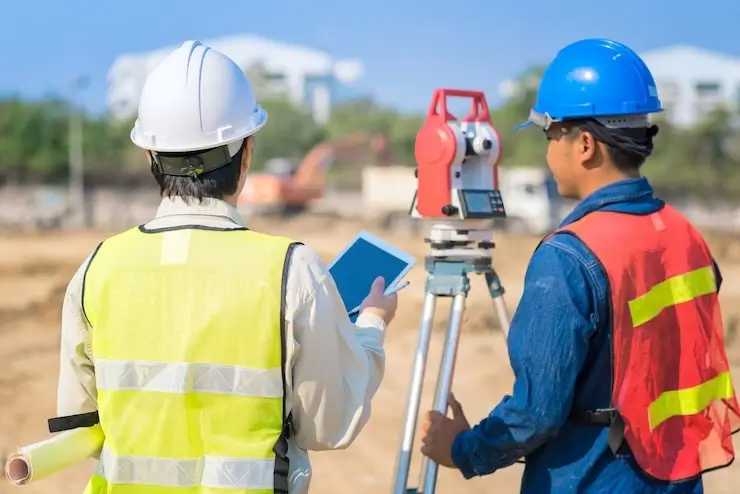
Everyone including engineers, contractors, and foremen involved in work with collaboration. This ensures the best working culture on-site.
Safety First
Survey data flags hazards, like unstable slopes, buried utilities, or flood zones. Forewarned is forearmed: the team can plan trenches, storage areas, and access routes with safety and efficiency.
The Typical Construction Survey Workflow
Doing a survey is not an easy process, as it includes several things:
Initial Survey & Planning
First, surveyors map boundaries, topography, vegetation, and features, creating the baseline for design and permits. This helps to ensure an effective outcome of construction.
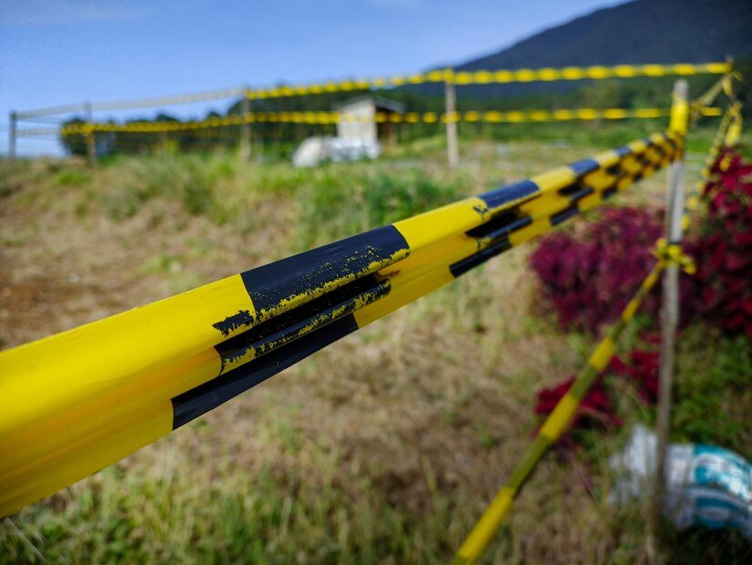
Stakeout (Placement)
Using total stations, GPS, or GNSS, surveyors place durable markers, wooden stakes, hub-and-tack, and nails at key coordinate points that align the build with the design.
Verification & Communication
Everything is double-checked against plans. Labels clarify what each mark denotes. Good surveyors stay in dialogue with crews to prevent disturbance of markers and to know when restakes are needed.
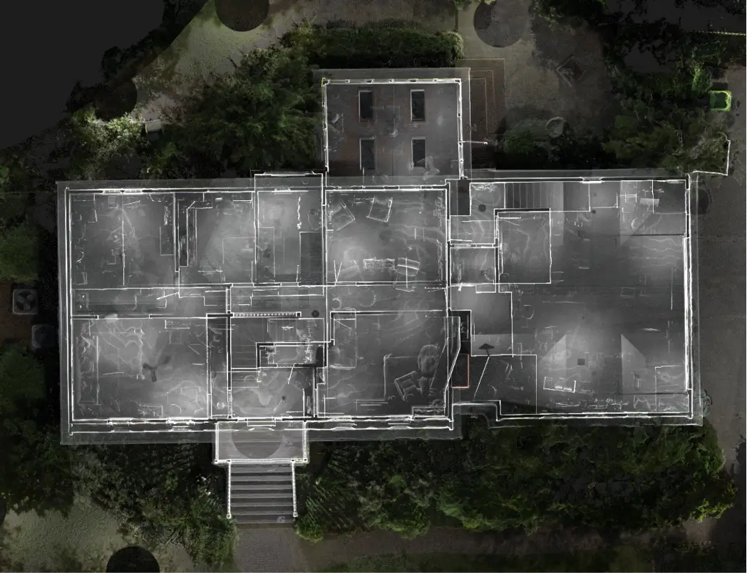
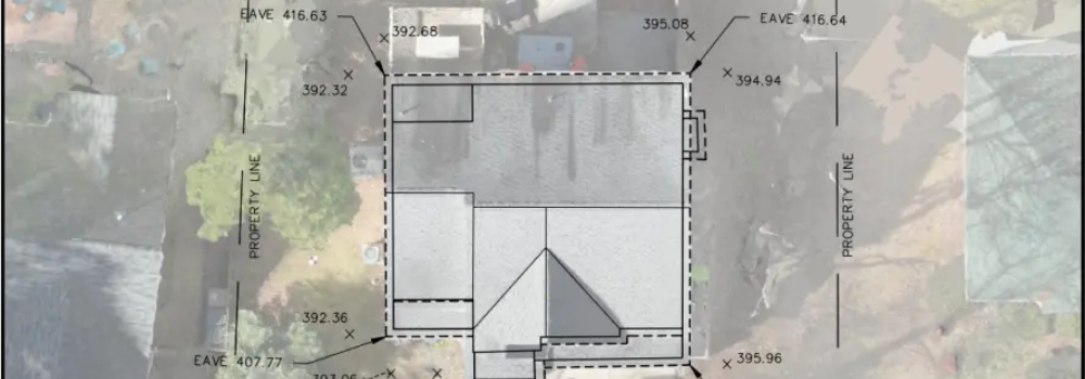
Monitoring & As-Built Surveys
Throughout Construction Surveyors recheck and update placement to ensure foundations, roads, utilities, and structure lines remain true to design. As-built surveys document the final build for future reference.
Uniqueness in Construction: Technology at Play
Construction surveying combines old-school methods and cutting-edge tech:
Classic Tools
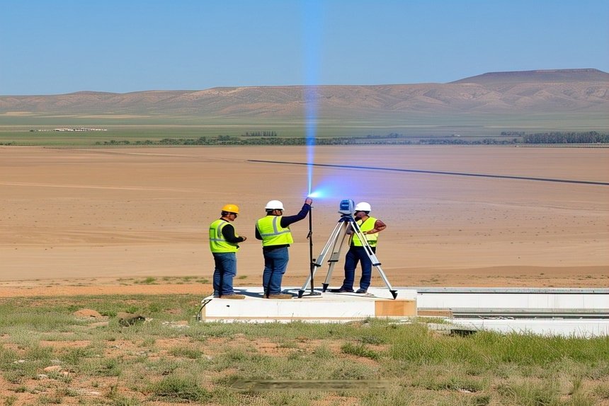
Theodolites, builders’ levels, and grade rods are still fundamental for transfers and basic measurements.
Modern Gear
There are multiple features like total stations, GNSS/GPS, electronic distance measurement, laser scanners, and drones boost speed and precision.
Subsurface Utility Engineering (SUE)
Geophysical scanning, vacuum pits, and mapping utilities underground before digging help avoid strikes and delays.
Tackling Common Challenges
Rain, mud, dense brush, and rocky terrain can knock markers loose or obstruct accuracy. Daredevil surveyors plan for restakes and extra checks.
Human & Equipment Error
Crews might accidentally move stakes, or gear may need recalibration. And sometimes, data from engineers is incomplete. That’s why verification, RFIs (requests for information), and field judgment are so crucial.
Iterative Restaking
Surveying often isn’t a one-time event. Stakes shift or get removed by machines, so restaking 5–10% of points is common. When teams’ roles are clear, restaking stays manageable.
Land Surveying Firm: Why It Matters
When you are going to construct a new house or renovate any building, then you should hire an expert for a construction survey. Hiring a good Surveying Firm is more than a convenience; it’s a foundation for success.
Deep Expertise
Surveyors bring training and skills to handle complex terrain, regulations, and technical requirements. They have years of experience dealing with surveys, so without spending too much time, they can easily do this job.
Strong Tech Arsenal
From GNSS to drones, they roll with advanced, regularly calibrated equipment—maximizing accuracy.
Compliance Guardians
They track zoning, building codes, safety regs, and utility laws, handling stamping, documentation, and boundary clarity.
Risk Reduction
Surveyors flag hazards, soil instability, erosion areas, and hidden utilities, helping teams plan and avoid surprises.
Project Coordination
Accurate documentation enables clear communication across architects, engineers, and crews—reducing delays.
Real-World Gains: Safety, Speed & Savings
By identifying hazards early, survey data helps enforce safety measures, prevent accidents, and protect workers. It is important to get in touch with experienced construction surveyors to ensure a smooth work around your place.
Faster Timelines
Accurate data means fewer stoppages. Ongoing verification and as-built checks keep the project moving smoothly.
Controlled Costs
Fewer reworks and delays. Precise surveys allow better budgets for earthwork, drainage, and utilities.
Long View: Future-Proofing & Asset Value
Survey records aren’t disposable; they’re assets themselves.
- The provider market uses as-built data; later renovations and landscaping reference this data.
- Records help resolve boundary disputes or property transitions.
- They act as legal proof for compliance and insurance purposes.
Wrapping It Up: Precision Is Power
Construction surveying isn’t just a technical step in development; it’s a strategic investment.
- Anchors the project literally and legally
- Enables safe, efficient, compliant execution
- Minimizes costly do-overs
- Increases confidence and communication across teams
Supports long-term asset management
There are several advanced techniques available like GNSS, drones, SUE, and advanced total stations that help to enhance the survey possibility. As we are living in the time when AI and advanced setup cover everything progressively. While experienced professionals can easily survey using these high-tech techniques. They can perfectly do how to survey and where to use these devices for best outcome.
How can you leverage these insights on your next project?
If you are planning to build a new house, buildings or any other infrastructure, you must connect with experts or professionals who design everything accordingly and provide you the best result.
- Use cutting-edge tools like GNSS, drone mapping, and utility scans to gain full site intelligence.
- Keep lines of communication open between surveyors, engineers, and crews via clear labels, RFIs, and regular check-ins.
- Plan for restakes, recalibrations, and verifications—especially after heavy earthmoving.
Conclusion
It is important to survey construction sites before starting construction because it helps to lay a strong foundation. When you are planning to construct your house, building or any other infrastructure, connect with experts and survey the construction site. This is one of the essential steps that helps ensure an effective workflow. We have experienced professionals who have years of experience in this industry can help to ensure your place is more secure.