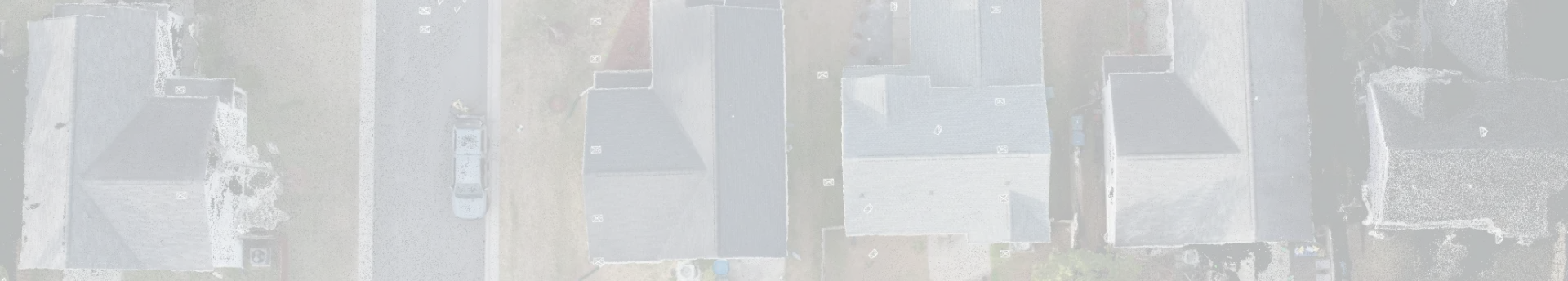
In the construction sector, laser scanning is growing in popularity since it provides an accurate and efficient method of assessing infrastructure. This method can reduce rework, get rid of pointless procedures, and expedite project schedules while maintaining accuracy and accessibility. Laser scanning can improve management, design, and rehabilitation phases by assisting construction teams in identifying mistakes that would otherwise require rework. You can also upgrade your building and infrastructure with 3D laser scanning that ensures every measurement is accurate and reliable.
What is 3D laser scanning in the building sector?
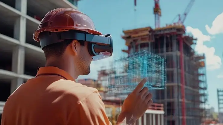
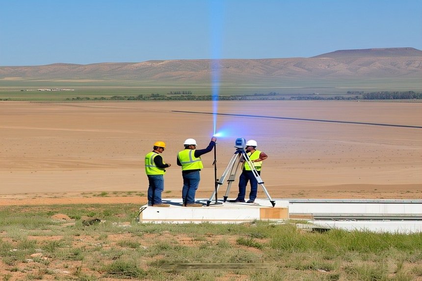
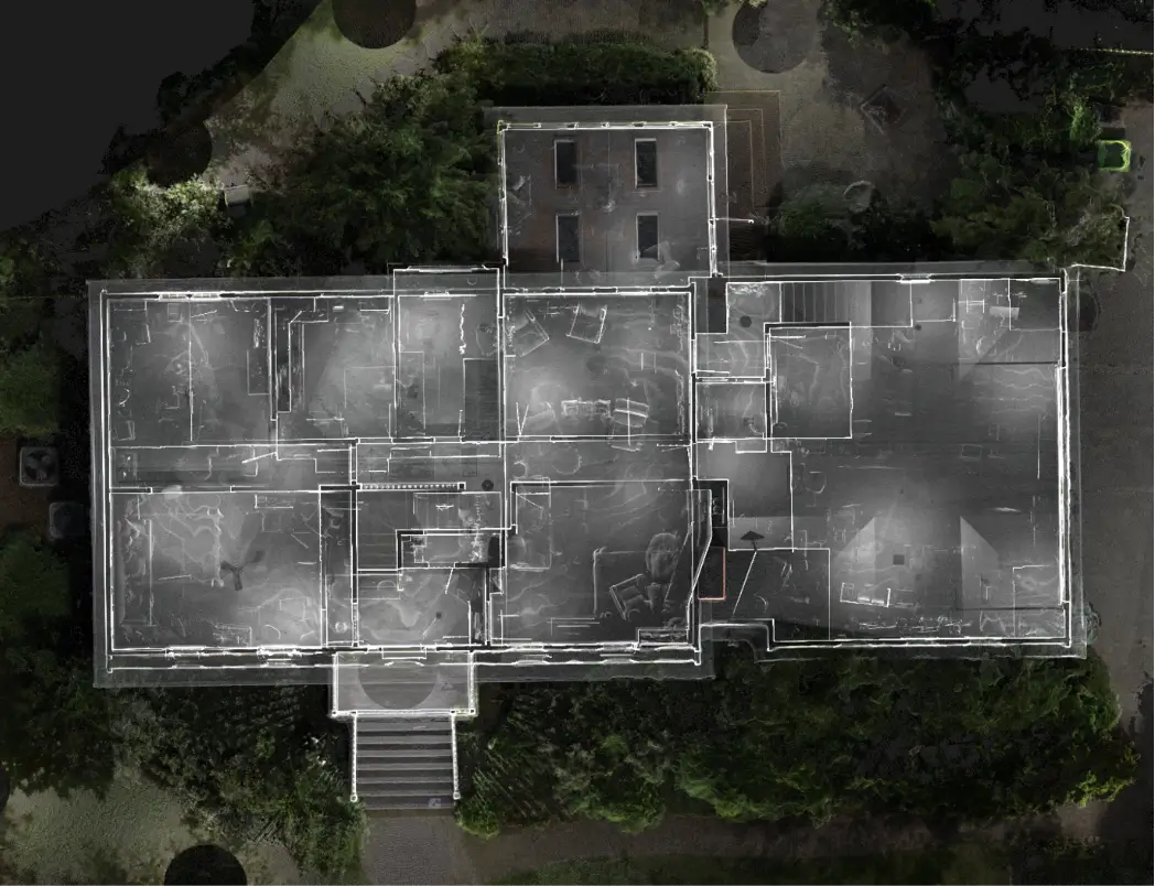
3D laser scanners are devices that use a mirror to focus laser beams on particular areas. The apparatus reflects the laser back to the scanner after dispersing it at exact angles. With the use of 3D laser scanning, users can rapidly record geospatially important information about a building project. You may rely on 3D scanning as a non-destructive method of taking measurements, especially in confined locations. The construction process can be designed or coordinated by converting a point cloud of data into a 3D model.
What Are the Benefits of 3D Scanning in Construction?
3D scanning in construction provides unmatched accuracy, faster data collection, and improved collaboration. From saving time and money to driving better team decision-making, 3D Laser Scanning can offer numerous benefits for your operations. There are several benefits you can get from using 3D scanning technology in your construction process.
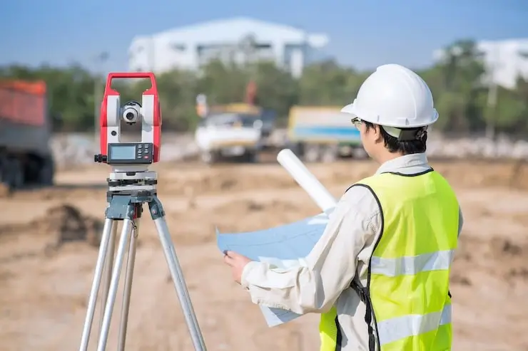
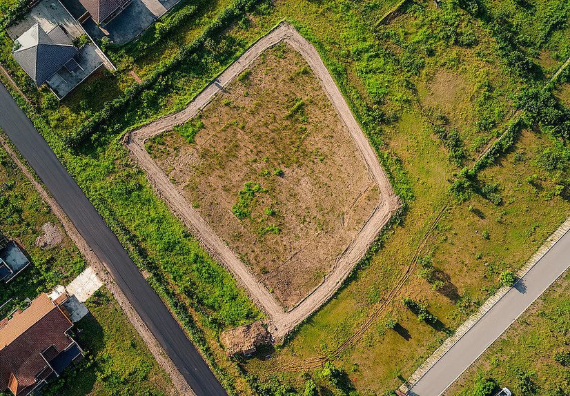
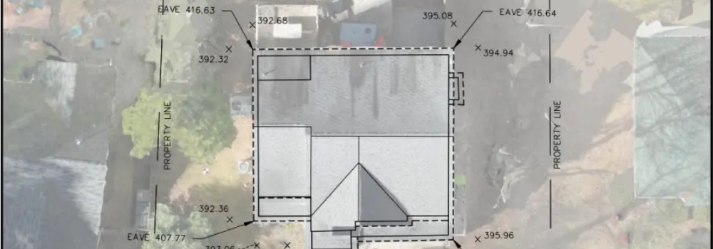
Location Surveys
They are also responsible for making a land accurately mapped. They do mapping of sold properties. Connect to our professional land surveyor who can easily help in the process.
Enhanced Visualization and Precision
3D laser scanning offers detailed, extensive information on a structure or construction site. It produces quantifiable and dimensionally correct data points for improved project planning and execution. You can typically get all the measurements you need without any gaps in your paperwork because this technology can take pictures of entire buildings. This allows your team to order materials, fabricate, and do other jobs more quickly.
Faster Project Completion with Reduced Construction Costs
Time is one of the most valuable resources during construction, and delay can lead to increased costs and frustration. Laser scanning technology is substantially faster than traditional project mapping methods such as photography and hand measurements. In the construction sector, mistakes can disrupt your workflow and cost you anywhere between 10% and 25% of the total project cost. An entire project site can be scanned in minutes with 3D laser scanning, as opposed to hours, days, or even weeks with traditional technologies. You can guarantee a high level of accuracy and get the precise information you require the first time.
Your group can cut down on order modifications, project revisits, and other delays that hinder output. For high-priority initiatives, this is extremely important. Project timelines are accelerated using laser scanning, which facilitates quick and easy data collecting. Reducing completion times helps your budget as well. You don’t need to spend more money on the extra supplies and labor that come with reworks. 3D laser scanning shows exact placements for construction elements; it can reduce labor and material expenses in the event that a project needs to be redone. You can save the trouble and cost of taking down walls and excavating slabs.
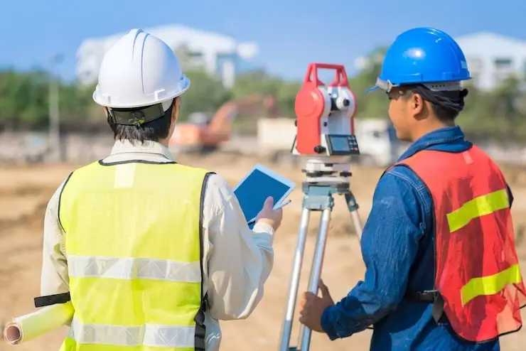
Improved team coordination through 3D laser scanning
- Laser scanning improves team coordination since everyone can access the scans virtually.
- Stakeholders, surveyors, and clients can utilize the cloud data points to measure and determine the space’s dimensions even if they are unable to visit the actual location.
- Building models can also be used by contractors to reply to information requests and work remotely.
- Everyone on your staff has access to the same information, so nobody is in the dark. 3D laser scanning construction can promote quicker and more useful decision-making by enhancing communication in general.
Enhanced safety and risk reduction on construction sites
Accidents during building projects can be caused by a number of circumstances, including falling from equipment or high work areas, being hit by falling objects and debris, and many more, but they can be stopped by doing advanced 3D Laser Scanning Surveys. These laser scanners collect data remotely in dangerous or difficult-to-reach areas.
Applications of 3D Laser Scanning in Construction
Using these 3D laser scanning services, we can transform traditional construction processes with better outcomes.
- In recent times, 3D laser scanning is one of the precise and comprehensive models used for constructing any buildings. It serves as the basis for creating an extensive digital depiction of a building or infrastructure project by taking accurate measurements of the environments and structures that are already there.
- It helps in assessing the structural integrity and condition of existing structures by taking accurate measurements of them. Additionally, it helps with site topography awareness, which enables engineers and architects to create constructions that blend in with their environment.
- Laser scanning allows for accurate comparisons between as-built circumstances and design plans. Frequent scans during the building process aid in finding inconsistencies and guarantee that the project follows the original plan.
- Using these devices, we can get all the information that is useful for facility management. These steps also reduce manual measurement and inaccuracies.
Conclusion
In the recent time frame, everything has been changing, and 3D laser scanning services are one of the best and most unique tools that are being used in construction. 3D laser scanning services provide deep information that informs choices and supports project life cycles. Meta Geomatics PLLC is a technology-driven company that specializes in 3D mapping, laser scanning, and land surveying. We offer our services to the building, engineering, architectural, and residential and commercial sectors. For our survey projects, our land surveying company uses 3D mapping, laser scanning, and the scan-to-BIM workflow. Our solutions provide a multitude of features to improve accuracy and quality while streamlining procedures. You may improve your business and change your procedures with our technology.