Category: Land Survey
-

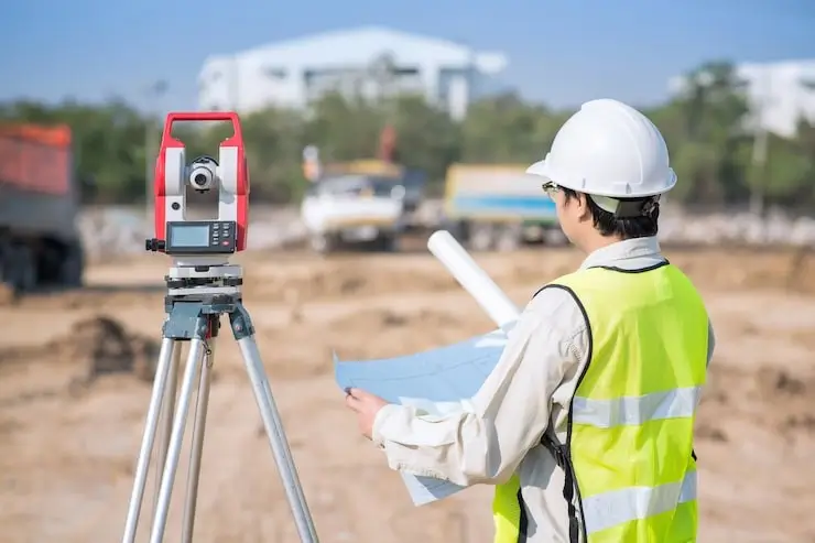
How 3D Laser Scanning services are transforming construction projects?
In the construction sector, laser scanning is growing in popularity since it provides an accurate and efficient method of assessing infrastructure. This method can reduce rework, get rid of pointless procedures, and expedite project schedules while maintaining accuracy and accessibility. Laser scanning can improve management, design, and rehabilitation phases by assisting construction teams in identifying…
-

The Role of Professional Land Surveyors in Modern Land Surveying
The usage of three-dimensional (3D) scanning is becoming more widespread. Nowadays, technology is shaping every sector and making efficiency in workflows. Land surveying is one of the oldest professions, started thousands of years back to identify cultivated land. Earlier it was done by traditional methods. Now, it’s done by using advanced technology, and for that,…
-

What is a Land Survey and why do you need one?
Land surveys are an important tool for defining property boundaries and the location of a property’s attributes. It would be impossible to determine where one piece of land ends and another begins without land surveys. Property issues may not lead to as much turmoil as they did centuries ago, but it’s still critical for everyone…
-

How Construction Surveying Improves Accuracy
Construction surveying enhances accuracy by offering accurate measurements and reports for building houses, projects, ensuring structures are built according to the given design and plan with safety standards. This is the best way to improve and establish accurate boundaries and elevations of any houses or infrastructures. In recent times, it’s the best way to make…
-

Emphasis on Licensed Surveying Practices in NC
North Carolina’s dynamic land development policy requires licensed and committed local land surveyors. While it is true that technology has proved a blessing in managing land resources, the possibility of misuse is rampant. Accurate representation of land boundaries and features, dimensions, and property lines ensures that residential or commercial property is in safe hands. When…
-
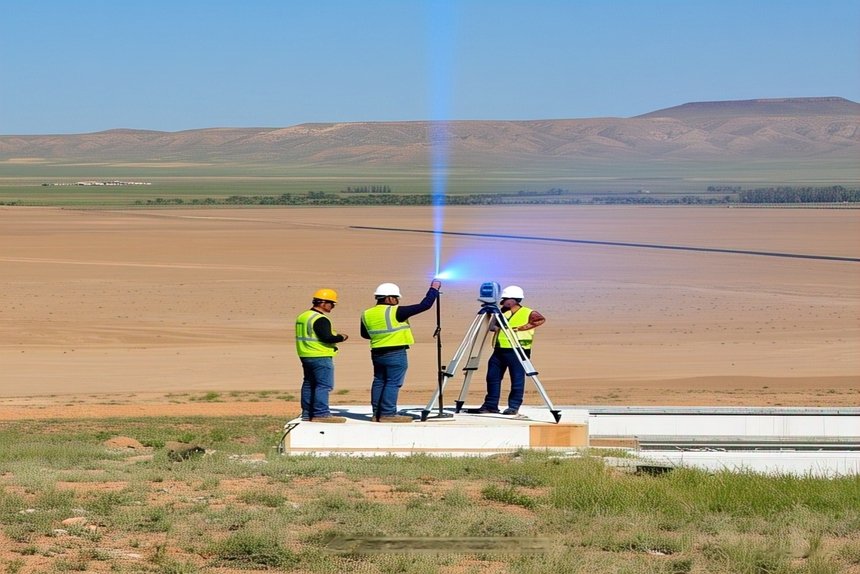
Get Accurate Results With Your 3D Laser Surveys
Accurate measurements along with the third dimension provide realistic data collection that applies to many industries. Advanced technology has blessed the modern world with many tangible gifts and a laser that bounces light pulses back and forth from the surface to the scanner is one. LIDAR or light detection and ranging is an alternative term.…
-

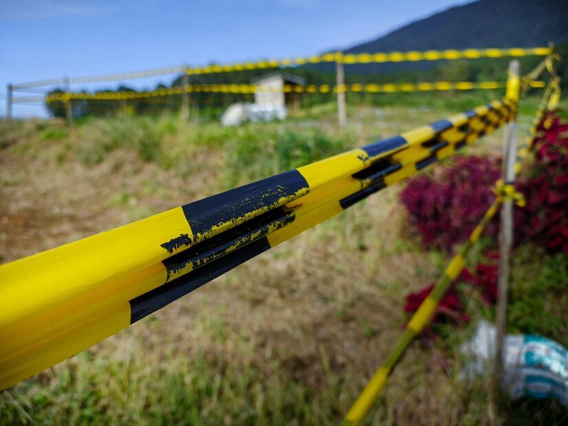
Understanding Boundary Line Surveys: Why They’re Crucial for Property Owners
Understanding the exact location and boundaries of property is not only important in coverage but also in ownership.
-

Why You Should Hire a Land Surveyor for Your Home Extension Project
Home extension is a great idea that allows increasing the useful space, increasing the value of the property, and improving living conditions.
-

Precision Mapping & Surveying- Your Local Experts in 3D Land Surveys and Laser
Accuracy in land surveying is more important than ever in the ever-evolving world of today.