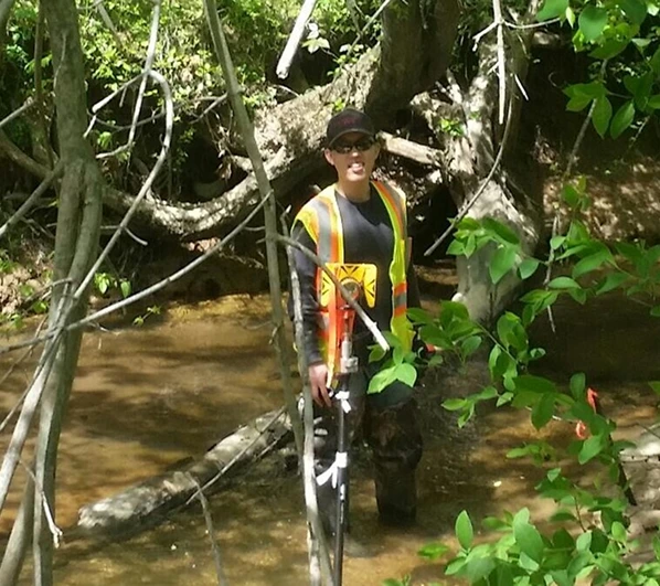
Founder: Chan Choi, PLS
Chan is a seasoned professional in land surveying and construction, with over 15 years of experience leading projects. His background includes extensive work in land surveying, geospatial technology, engineering; spanning multiple industry including land surveying, engineering, architecture and construction. As the founder of Meta Geomatics, Chan blends technical expertise with an entrepreneurial vision, driving innovation through advanced technologies such as drones, laser scanning (Scan-to-BIM), GPS, and land surveying. His leadership ensures that Meta Geomatics consistently delivers precise, efficient, and future-ready solutions to clients in architecture, engineering, and construction. Under Chan’s guidance, Meta Geomatics integrates cutting-edge tools with a commitment to quality, enabling clients to achieve their goals with accuracy, reliability, and confidence.
Education

Bachelor of Engineering in Geodesy and Geomatics Engineering -
University of New Brunswick, Fredericton, NB
Geomatics Engineering Technologist -
Centre of Geographic Sciences (COGS), NSCC, Lawrencetown, NS
Licenses & Certifications

Professional Land Surveyor (PLS) – North Carolina
Credential ID L-5412

Part 107 Certified sUAS Pilot Part 107 Certified sUAS Pilot
Federal Aviation Administration Credential ID 4036322

Certified UAS Mapping Technologist (ASPRS)
American Society for Photogrammetry and Remote Sensing (ASPRS) - Credential ID UAS-T036
Core value of Innovation and
Technology
Meta Geomatics is a technology-driven land surveying firm that leverages advanced tools—drones, laser scanners, 360° cameras, photogrammetry, Scan-to-BIM, and virtual design & construction—to deliver precision and innovation. By making these cutting-edge solutions accessible beyond large-scale commercial projects, we bring the future of geomatics and construction to every client.