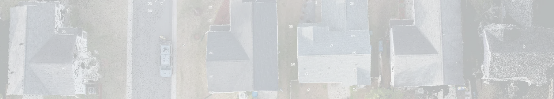
North Carolina’s dynamic land development policy requires licensed and committed local land surveyors. While it is true that technology has proved a blessing in managing land resources, the possibility of misuse is rampant. Accurate representation of land boundaries and features, dimensions, and property lines ensures that residential or commercial property is in safe hands. When transactions take place or constructions come up, there seems no trouble in getting things properly done.
Now that technology is taking over
Not only is technology and equipment hitting the ceiling, but the staff is getting adept at the surveying task. Humans and machines need to collaborate. Legal compliance comes first since local and state laws need to be heeded. Breaches happen but rarely so, and when disparities are found between the documents and ground realities, it is often the result of incorrect surveys.
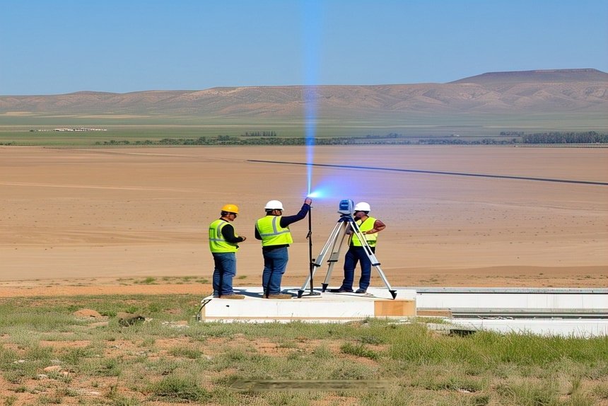
Land surveys are getting better. Now that total stations present a world of accuracy with distances, angles, coordinates, and elevations, there is little to worry about. Among the survey systems are GPS, drones, and lasers. Robotics, analytics, Google Earth, and cloud computing present vast scenarios, and data is more accurate with such extensive support. Along with all the digital wonders, the licensed surveyor holds the upper hand.
Land survey company reputations
Like bees in a hive, Licensed Surveyors gather in a company, which gives them a better chance to cooperate on projects. Property owners feel confident about hiring surveyors from a reputable company since land, buildings, houses, and businesses are sensitive matters when it comes to legalities. If something goes wrong and legal proceedings commence, it means unnecessary losses, delays, and a crisis for everybody concerned. Prevention being the best approach, it is wise to ensure that the land survey work gets the right surveyor, qualified and licensed.
Why a professional land surveyor is important
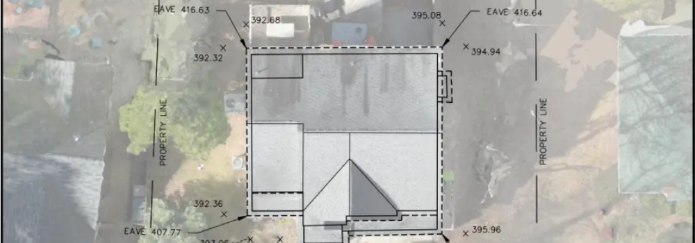
North Carolina legally accepts surveys prepared only by a licensed Professional Land Surveyor. The North Carolina Professional Land Surveyor Stamp represents such an authority and attracts confidence in its validity. The stamp verifies the survey document as being legitimate from the point of view of state laws and professional standards.
Along with guarding the interests of life, health, and property, ensuring public welfare lies at the heart of North Carolina land surveys. Licensed professionals play an important part in depicting land boundaries with precision, leading to fair land utility. Correct data prevents legal disputes and enables safe construction activities.
Licensing requirements in North Carolina
Qualifying as a licensed land surveyor requires you to pass two exams, FS and PS. They stand for Fundamentals of Surveying and Principles and Practice of Surveying. Along with additional requirements, candidates need to prepare a sample map. Such procedures ensure that only deserving and capable candidates carry out survey tasks. Ethics and values are stressed since public welfare is at stake.
ALTA/NSPS
In addition to the North Carolina laws are the American Land Title Association and National Society of Professional Surveyors Land Title Survey. Such a land survey helps commercial transactions with detailed data about a property. The data deals with dimensions and boundaries, easements and improvements, among other details.
Some important uses of land surveys
Land surveys prepared by a professional land surveyor gain legal importance in property transactions, renting, and leases. Deeds make use of such information. When property disputes arise, surveys are referred to for information regarding the property. Surveys are legal proof of property characteristics like boundaries and features.
Architects and construction engineers need detailed geographical surveys to know the land contours. The building style and design, along with the infrastructure, need to tally with the environment.
Developers find crucially important uses for detailed surveys that show building heights and parking zones, roads, and utilities. The Local Land Surveyor helps to adhere to local laws and prevent the imposition of fines or project cancellations.
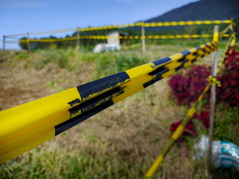
Construction is a complex activity that requires staking to mark the positions of walls and utilities according to the plan. When construction is complete, as-built surveys confirm that construction did take place according to the sanctioned construction plan. The as-built survey becomes an important document for future reference.
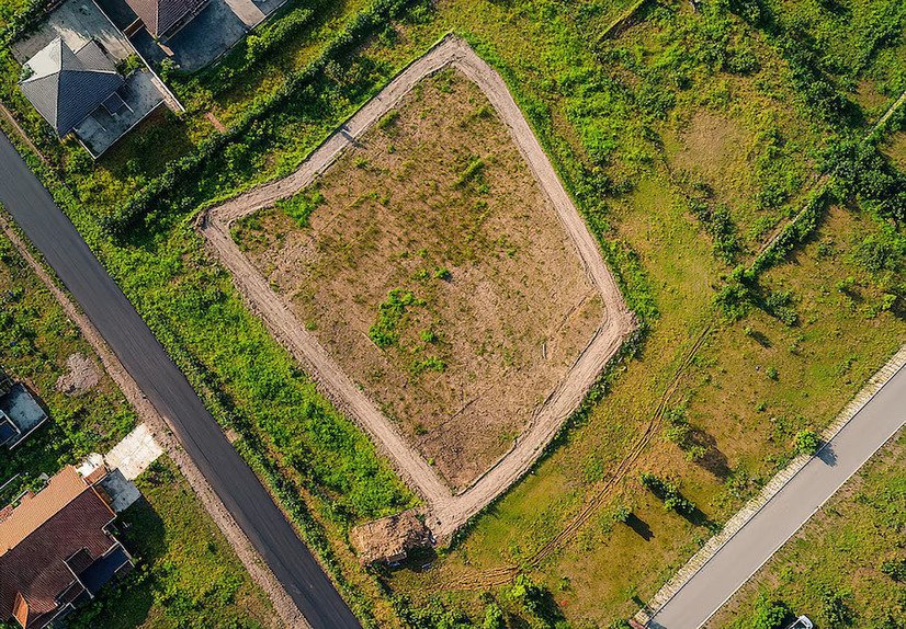
In the task of legally subdividing commercial land for development, detailed surveys specify the plans and maps, according to the regulations that get easy approvals. The land survey company gets the complex work done.
North Carolina remains dedicated to lofty land development standards via strictly licensed surveyors. The licensing indicates that the surveyors possess the skills and expertise to do the job well. Further, the license confirms that the professional land surveyor is ethically upright and capable of protecting the interests of the state, laws, and citizens.